Sky Bridge

Overview

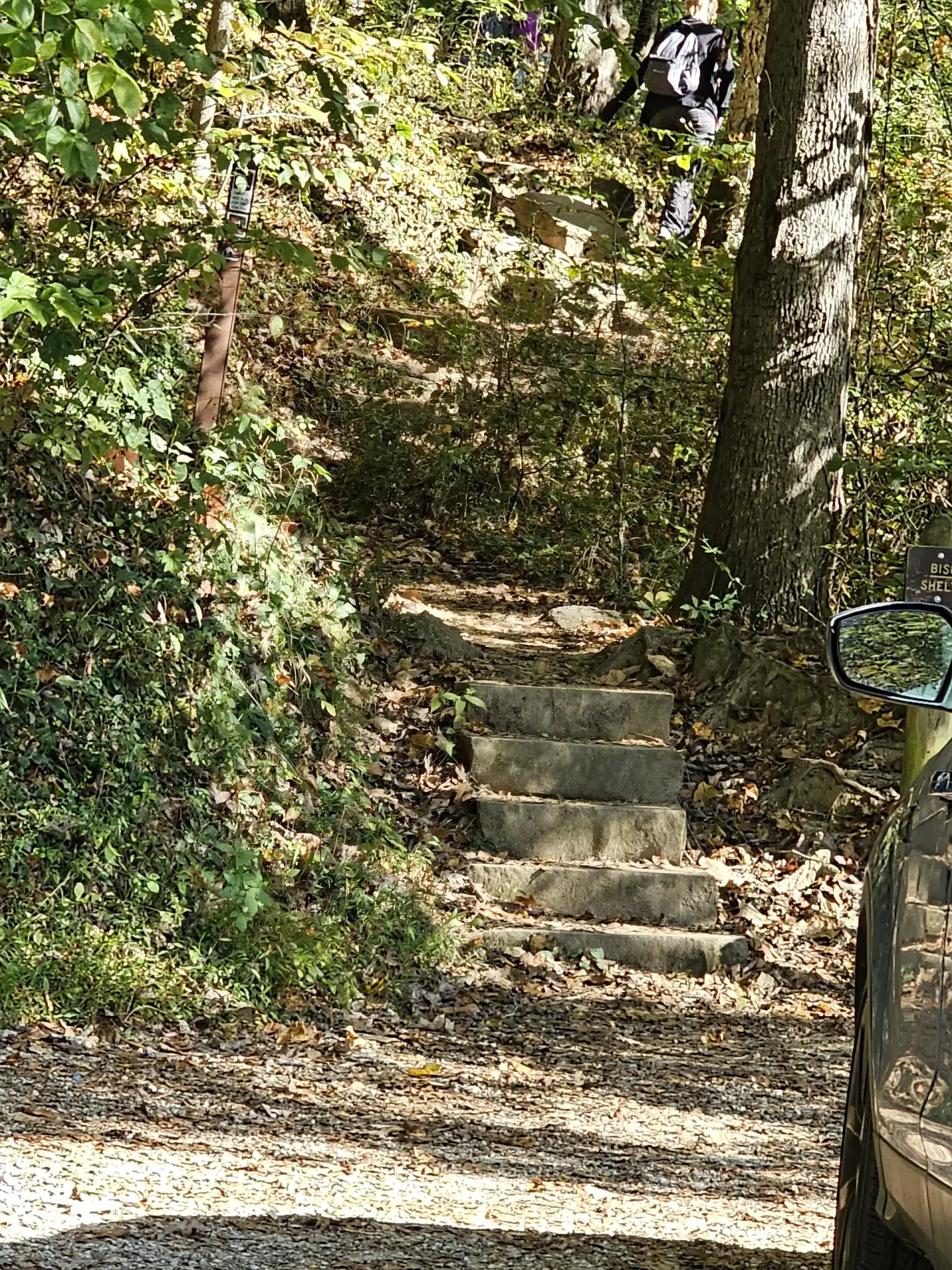
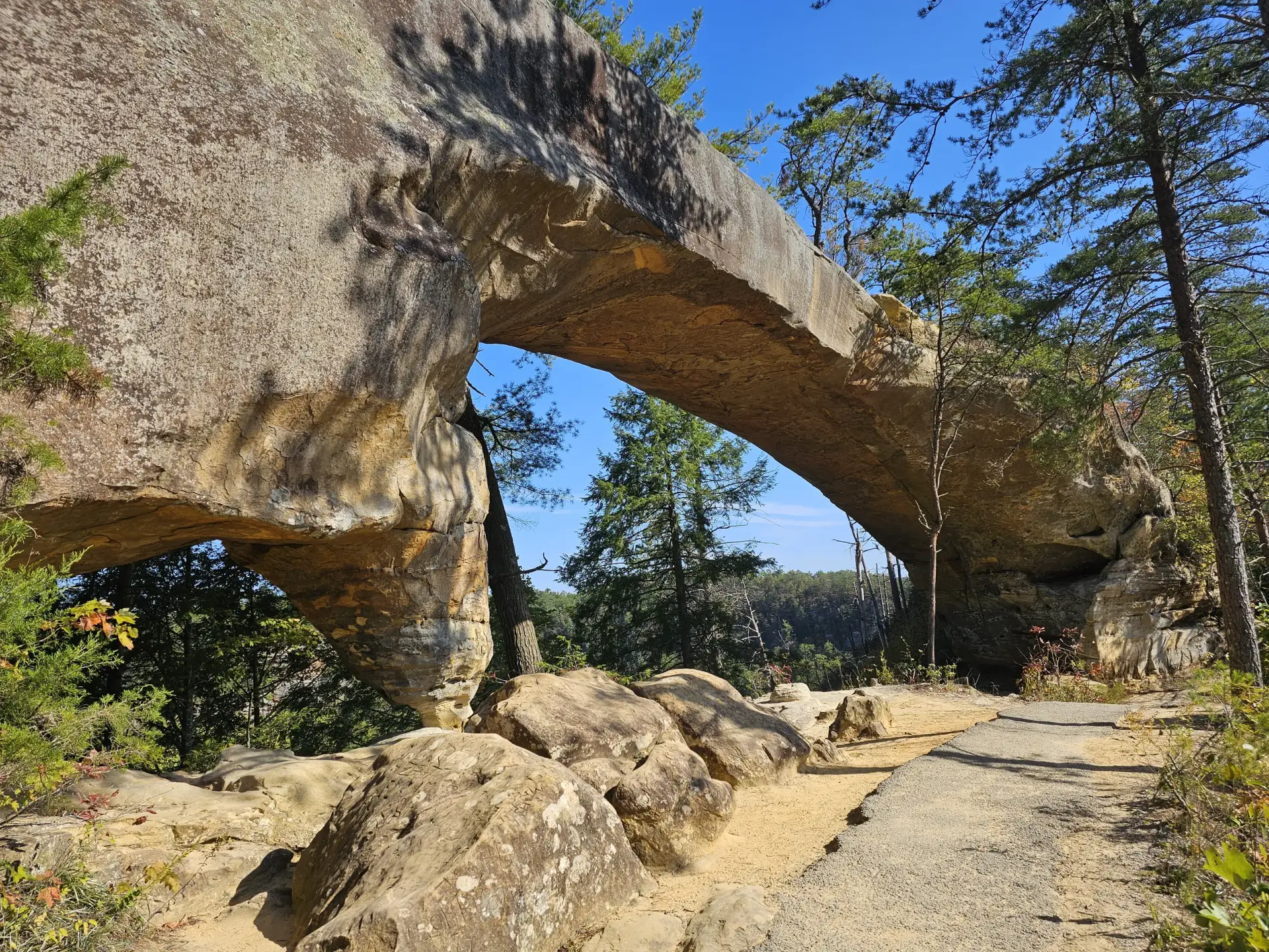
The top of the Grade A++ (very large, perfectly formed arch) Sky Bridge can be reached by walking on a paved trail (Class 1.0) a short distance. But if you want to see the underside of the arch, cross the arch and follow the well-worn (sometimes paved) trail. The entire 0.75-mile loop is a Class 1.0 hike even though there are maybe 60 stair steps at the end to get you back to the parking lot. I found that going down the stairs first (a counter-clockwise loop) is easier, somehow.

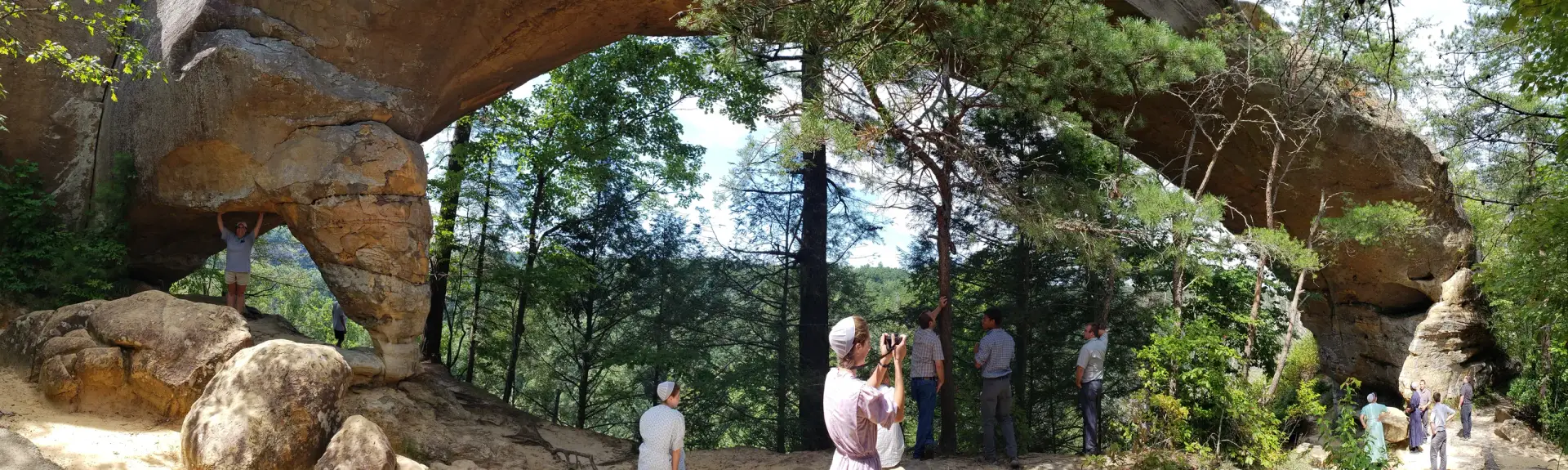
With the pillar on one side, is Sky Bridge a double arch? One of the unique things about Sky Bridge is that you can see it from the road next to the Red River.


Another point on this location

Another point on this location

Overview

Download the details PDF file of this location

Google Maps API key is not configured. Add it under Settings → AR Location Map.

Trail info

  • Arch Grade

    A+

  • Trail Difficulty

    Class 1

  • Arch Latitude

    37.81883

  • Arch Longitude

    -83.579

  • Arch Point Elevation

    941

Trail starting point info

  • Arch Starting Point Latitude

    37.81815

  • Arch Starting Point Longitude

    -83.58182

  • Arch Starting Point Elevation

    996

No approved reviews yet. Be the first to share your experience.
YOUR EXPERIENCE MATTERS

Share your experience

Visited this place? Tell other explorers what to expect.

Your rating *