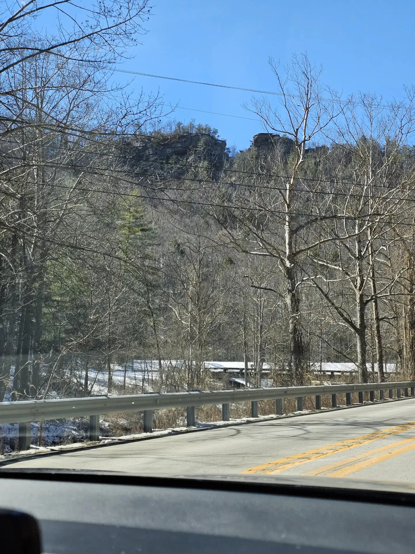
Before 1953, there was no road past Natural Bridge State Park, but only a railroad that went all the way to Beattyville. In 1933, my father was born in the L-Park Hotel (present day Torrent Falls) and grew up in a house beside the large boulder across the street from Torrent Falls. The railroad from Natural Bridge veered left between that large rock and church and when through a tunnel that had since collapsed. At some point, my father and his 3 siblings got in possession of the 5 miles of railbed from Natural Bridge to Torrent and was paid over $63 each for that 5 miles x 1,000 ft of railbed in 1953 so a road could be put in…
Although the Red River Gorge is federal property, Natural Bridge belongs to the state and they have different rules, such as dogs are not allowed on Natural Bridge trails.
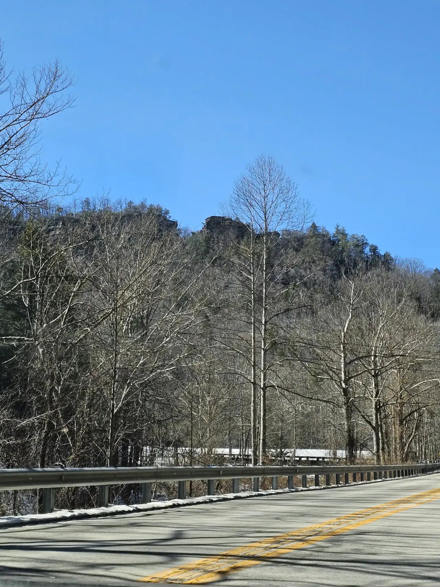
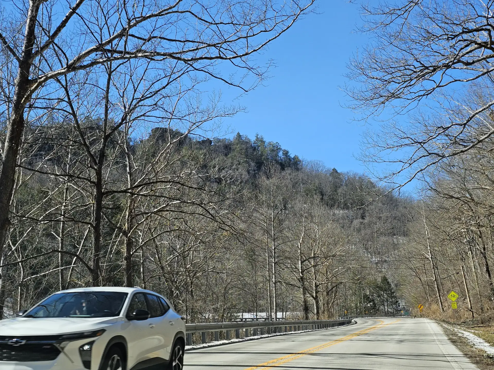
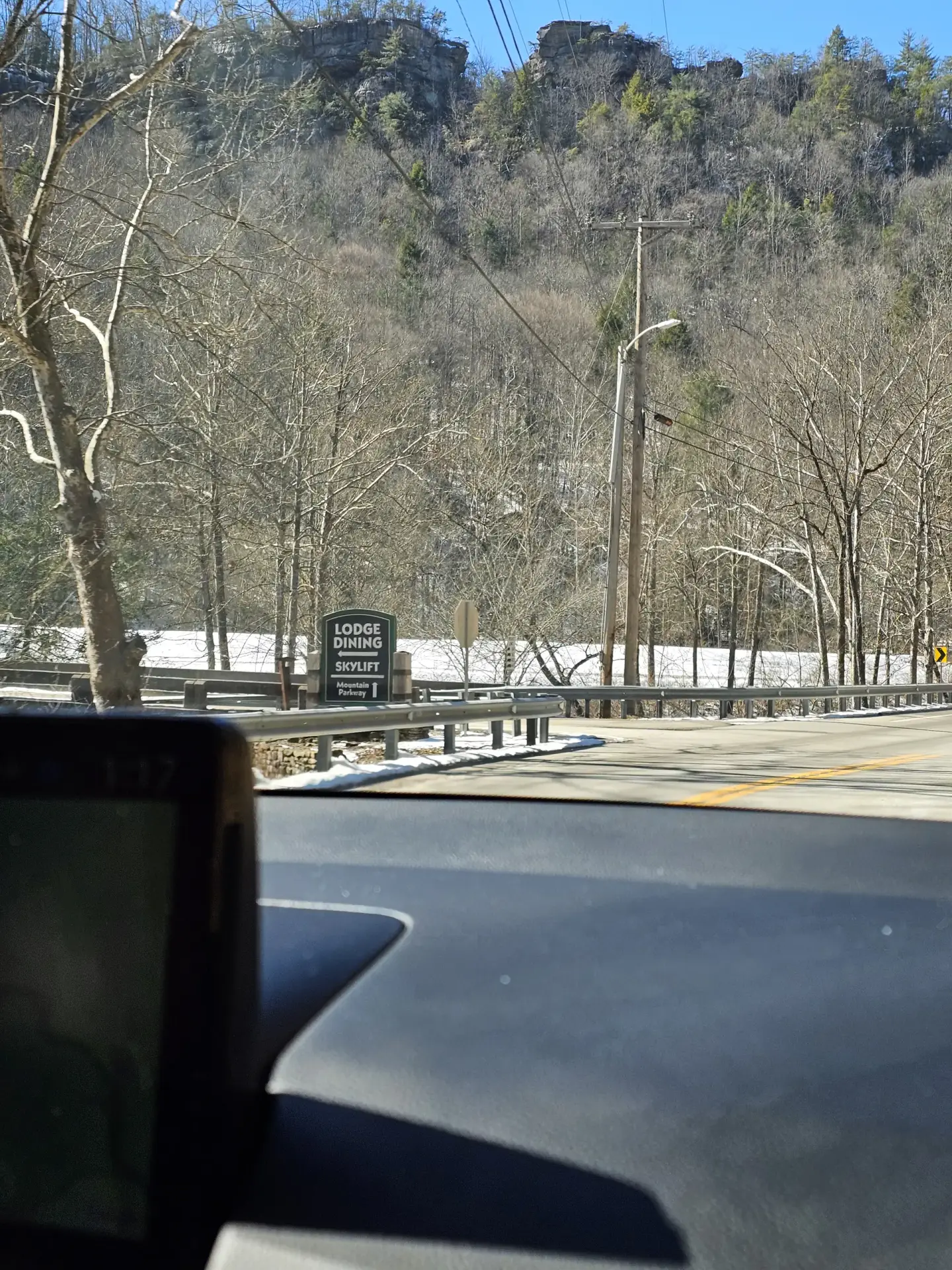
Natural Bridge is a Grade A++ (very large, perfect arch) on an official Class 1.1 trail. Different routes to Natural Bridge are all under 1 mile one-way. Devil’s Gulch route is my favorite due to the very steep steps (extra points if you don’t touch the rail while climbing). Just to the right of the Devil’s Gulch route is the Needle’s Eye Arch route. Needle’s Eye Arch is a Grade B+ arch (very nice arch, but you can’t stand up and walk through it). During the winter you can see through Needle’s Eye Arch while driving West on HWY 11 just before the Hemlock Lodge Road turn-off.
At the top of the Needle Eye Arch trail, you can turn right and go to Lover’s Leap or turn left and head on top of the Bridge. After passing over the Bridge, you can continue on Balance Rock trail that has a cave on it at nearly the very end of the trail. I’ve been through that cave many times until they closed it in the 2000’s to protect the bats.