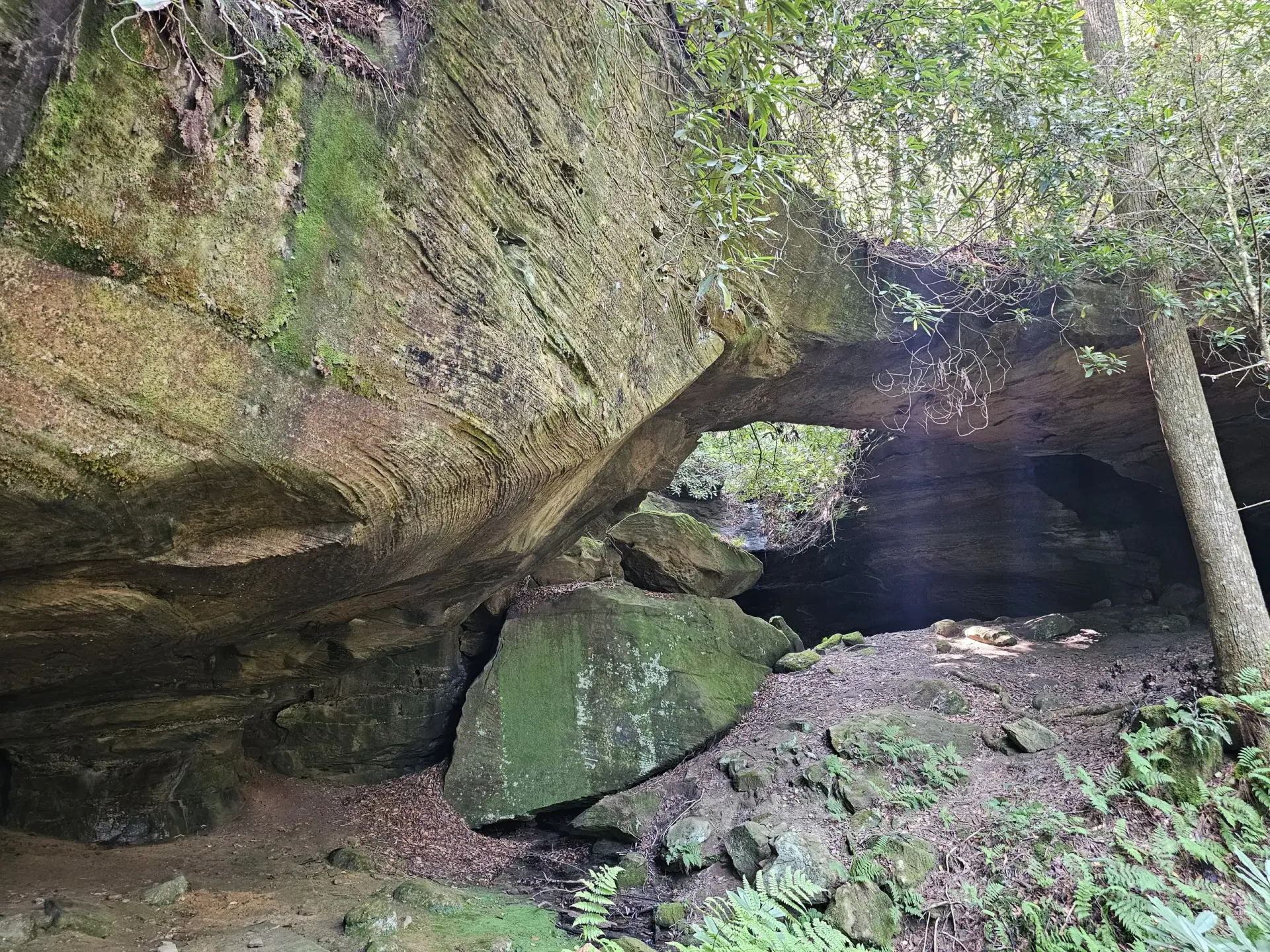
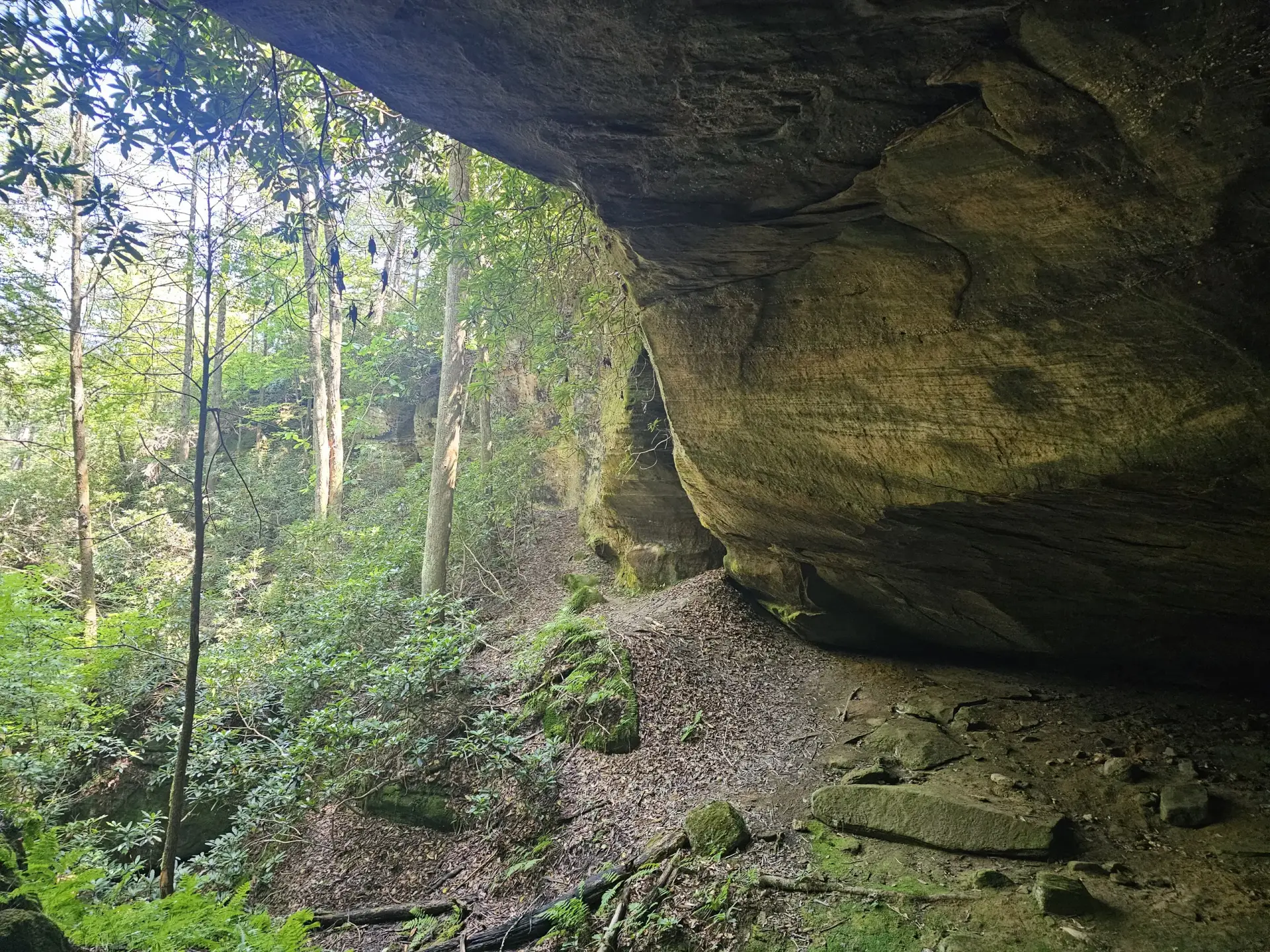
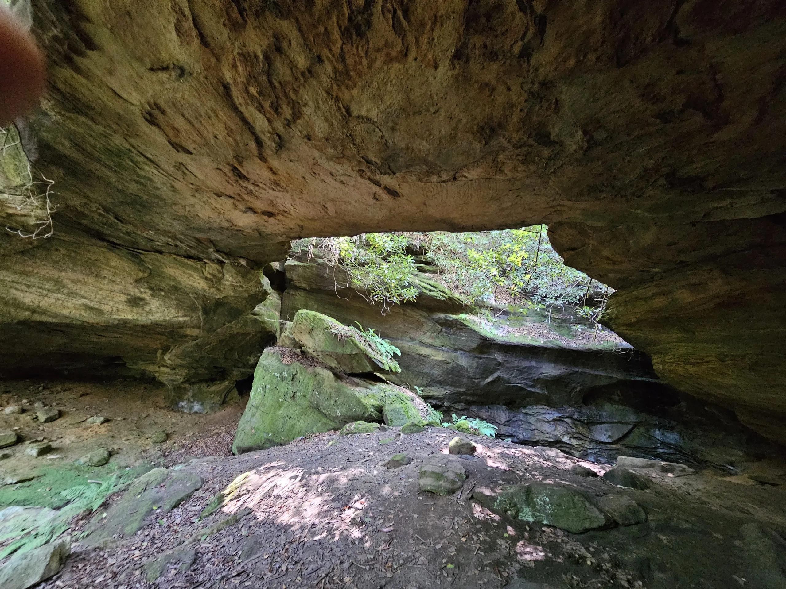
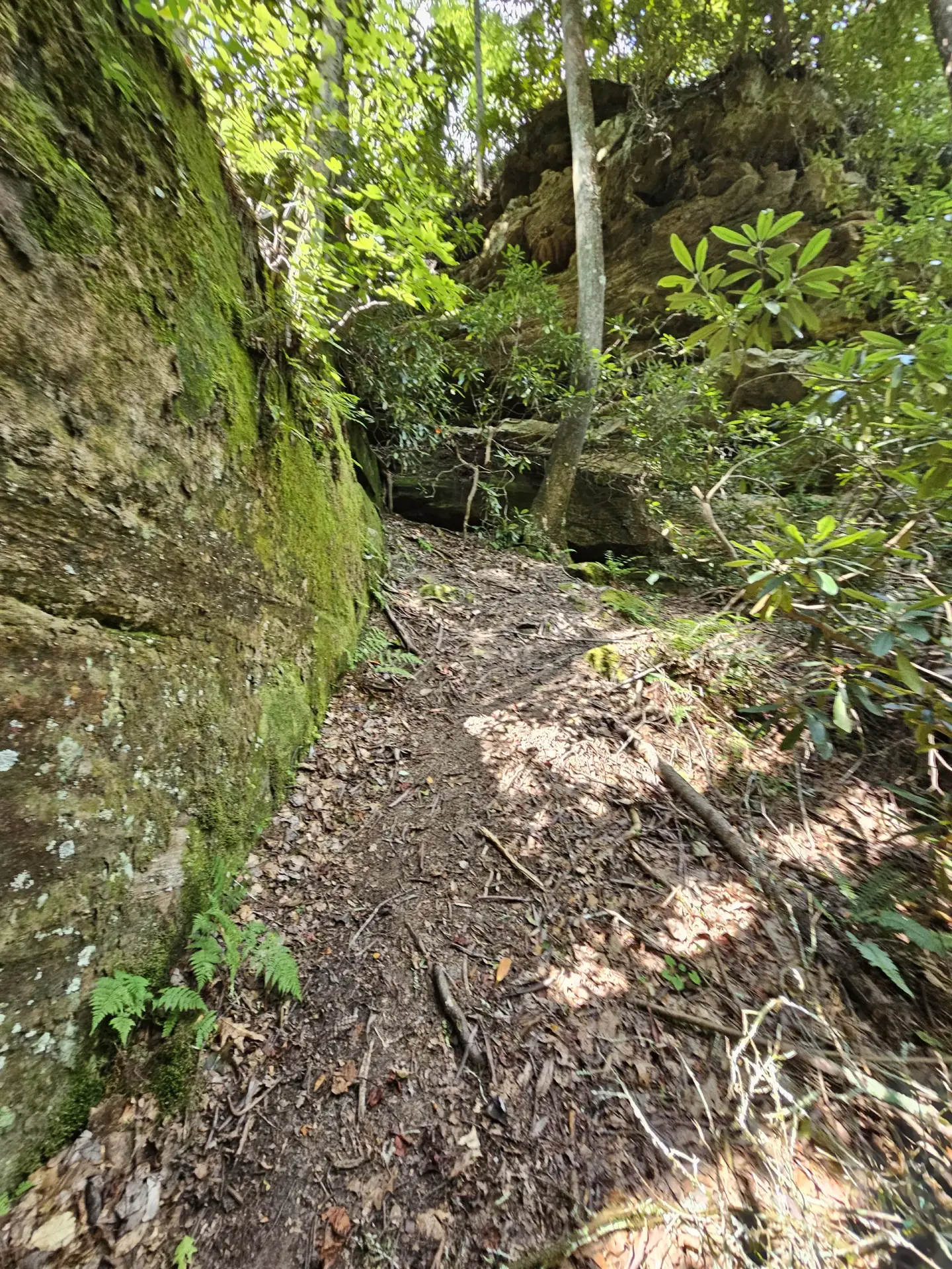
This is a Grade A+ arch (very large arch with large opening). This was my very last (new to me) arch I visited before going to work in West Texas in the Fall 2026. A long, easy hike until the last 200 yards, which changes the easy Class 1.1 hike to a Class 2.0 scramble. However, during the first part of the hike, I went through high grass in a swampy environment. Little did I know, I picked up over 1,000 hitchhikers (chiggers) that sent me to the emergency room several days later. All of the ER doctors wanted to see my foot and were quite impressed, that is not a good thing. Please wear insect repellant.
A much nicer route (I think) would be to start at the Red River Bridge at Copperas Creek and paddle upstream until you get across from Eagle’s Nest and you will be just below the arch and scramble (Class 2 to Class 3) up the ridge from there.