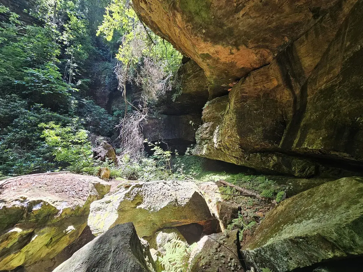
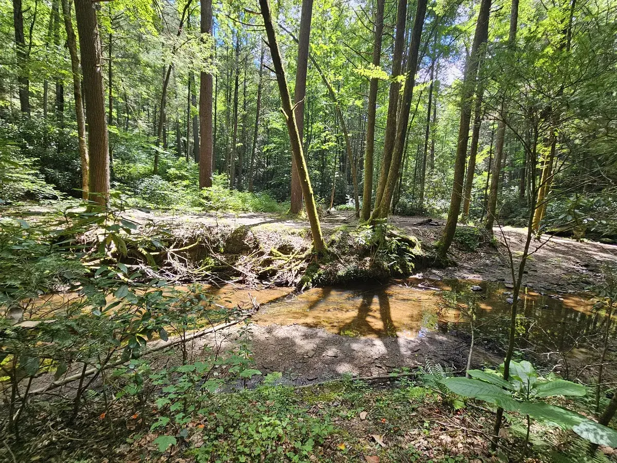
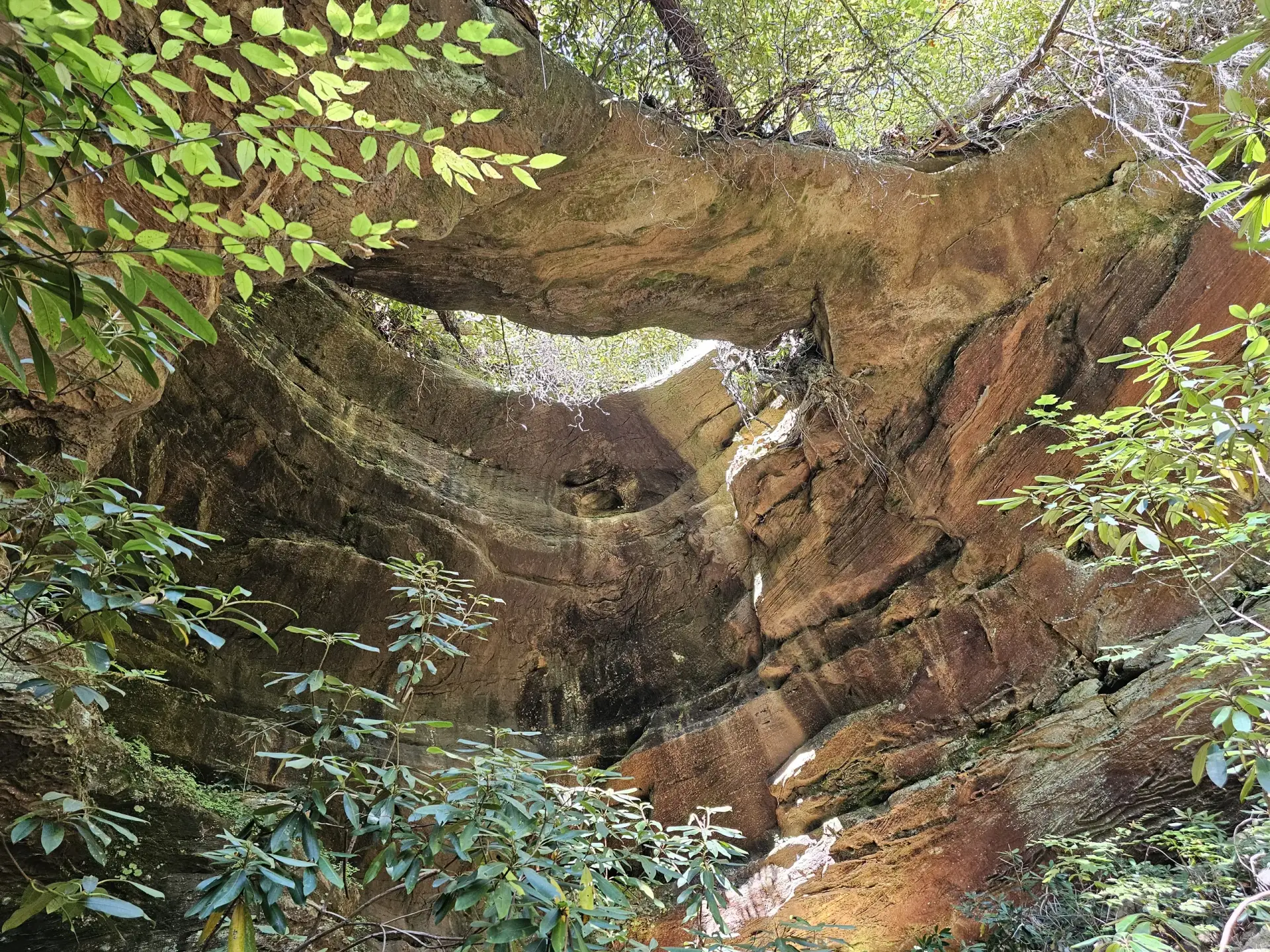
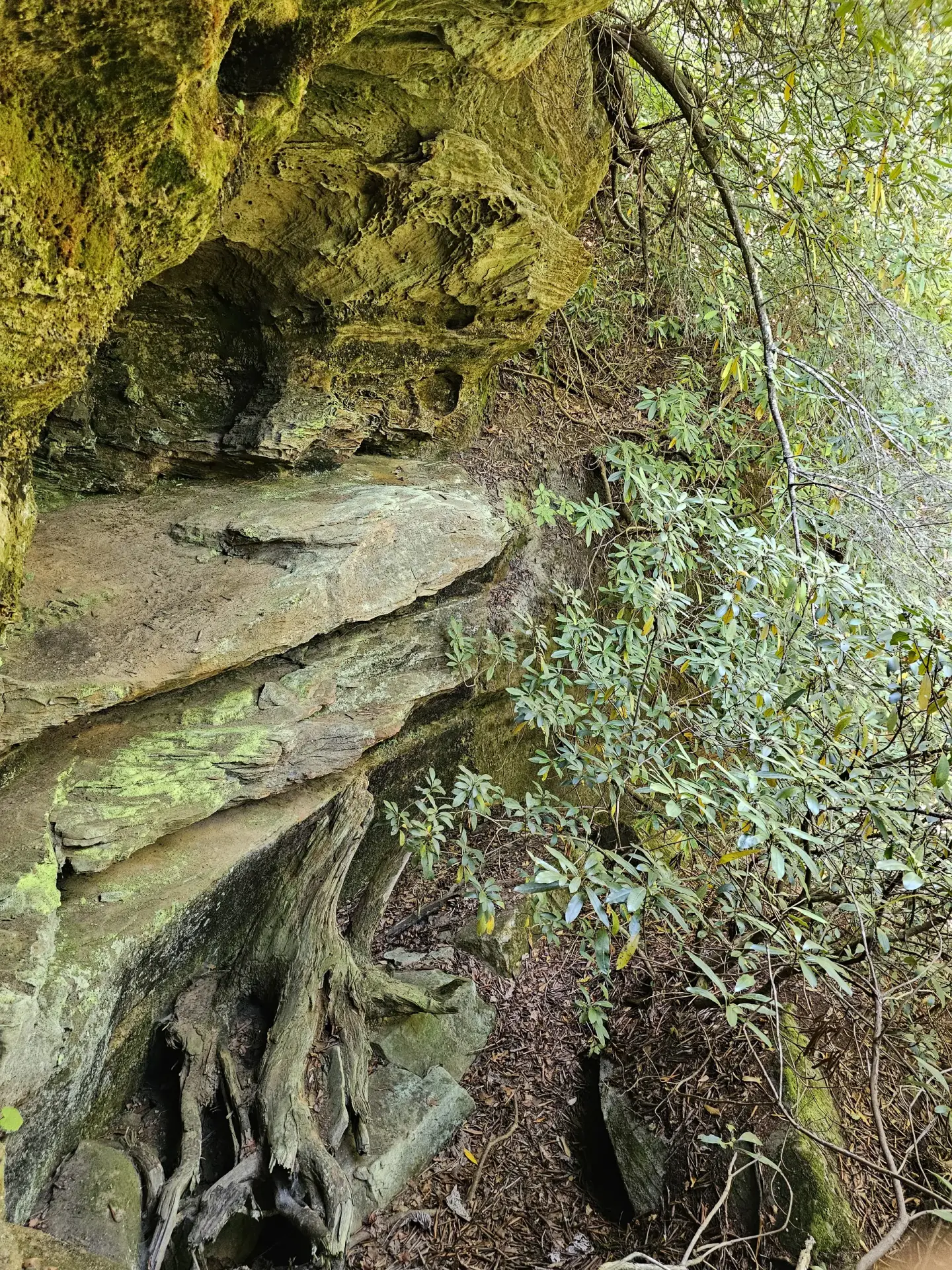
This is a very nice Grade A/A+ arch. Like Whittleton Arch, it was created by the collapse of the back of a rock shelter but having a nicer shape than Whittleton. The trail is an unmarked, Class 1.0 hike except a little rock climbing (~20 ft) at the end where you enter the arch.
It’s very important to find the beginning of the trail. The first time I visited Hopewell Arch, I had the coordinates of the arch, but not the location where arch trail deviates from the Copperas Creek Falls trail. This turned a very nice Class 1.0 hike into a very tough Class 3 scramble until I just happened to stumble across the trail. Also, while taking the trail, there is an 180-degree switchback that could be missed, tho someone has placed limbs over the trail to prevent this from happening.
NOTE: It was after this hard Class 3 scramble to find the trail that I decided to create this website so no one else would have to work so hard to find the trail.